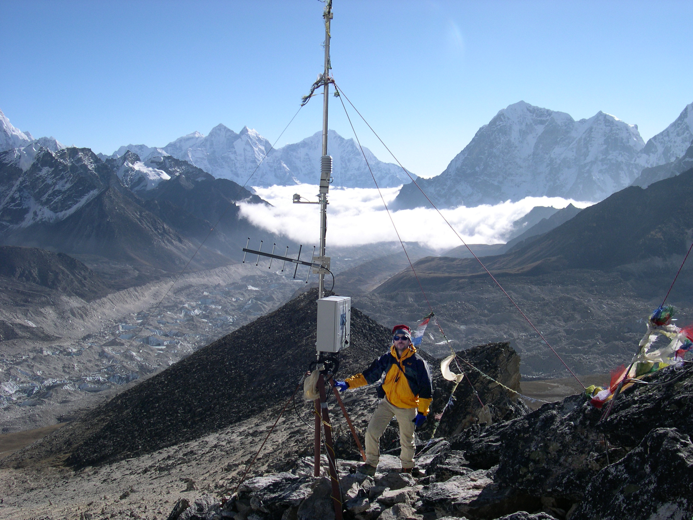
Geoinformatics in climatology and high mountain research
climATlas: a climate diagram atlas of high mountain areas
REGEOTOP: climate interpolation
Digital photogrammetry for glacier monitoring
IDL code for stepwise multivariate regression